LOCATIONS:
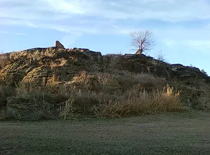
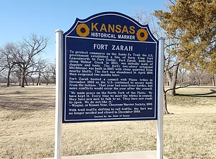
FORT ZARAH
East of Great Bend on North Highway 56
WALNUT CREEK CROSSING
2 miles east of Great Bend on South Highway 56
SANTA FE TRAIL MARKER #48
10th St and Frey St, in Great Bend
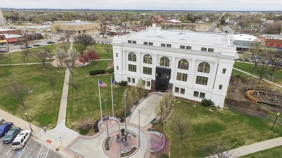
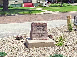
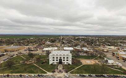
DAR MARKER #49
Northwest of Barton County Court House
Jack Kilby Squared
1400 Main St.