BARTON COUNTY, KS
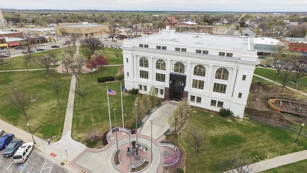
SANTA FE TRAIL SITES:
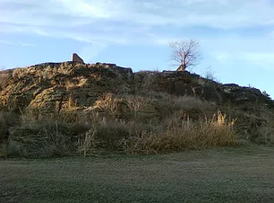
PAWNEE ROCK
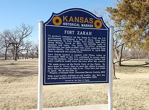
GREAT BEND
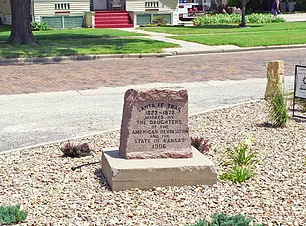
ELLINWOOD
LOCATIONS:
PAWNEE ROCK
Pawnee Rock State Park
631 N Centre St.
Pawnee Rock, KS 67567
LOCATIONS:
FORT ZARAH
East of Great Bend on North Highway 56
WALNUT CREEK CROSSING
2 miles east of Great Bend on South Highway 56
SANTA FE TRAIL MARKER #48
10th St and Frey St, in Great Bend
DAR MARKER #49
Northwest of Barton County Court House
Jack Kilby Squared
1400 Main St.
LOCATIONS:
DAR MARKER
North side of Santa Fe Boulevard (US Highway 56) near the United Methodist Church

PAWNEE ROCK
LOCATIONS:
PAWNEE ROCK
Pawnee Rock State Park
631 N Centre St.
Pawnee Rock, KS 67567

GREAT BEND
LOCATIONS:
FORT ZARAH
East of Great Bend on North Highway 56
WALNUT CREEK CROSSING
2 miles east of Great Bend on South Highway 56
SANTA FE TRAIL MARKER #48
10th St and Frey St, in Great Bend
DAR MARKER #49
Northwest of Barton County Court House
Jack Kilby Squared
1400 Main St.

ELLINWOOD
LOCATIONS:
DAR MARKER
North side of Santa Fe Boulevard (US Highway 56) near the United Methodist Church
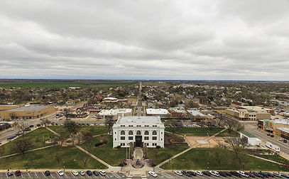
• Barton County Kansas was organized May 16, 1872. It is named after Clara Barton, Civil War nurse, founder of the American Red Cross.
• The Santa Fe Trail passed through the Courthouse Square.
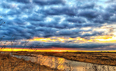
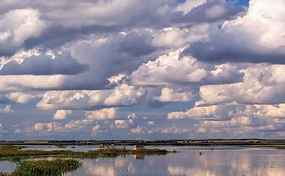
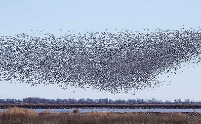
Known for Cheyenne Bottoms:
https://ksoutdoors.com/KDWP-Info/Locations/Wildlife-Areas/Southwest/Cheyenne-Bottoms
